
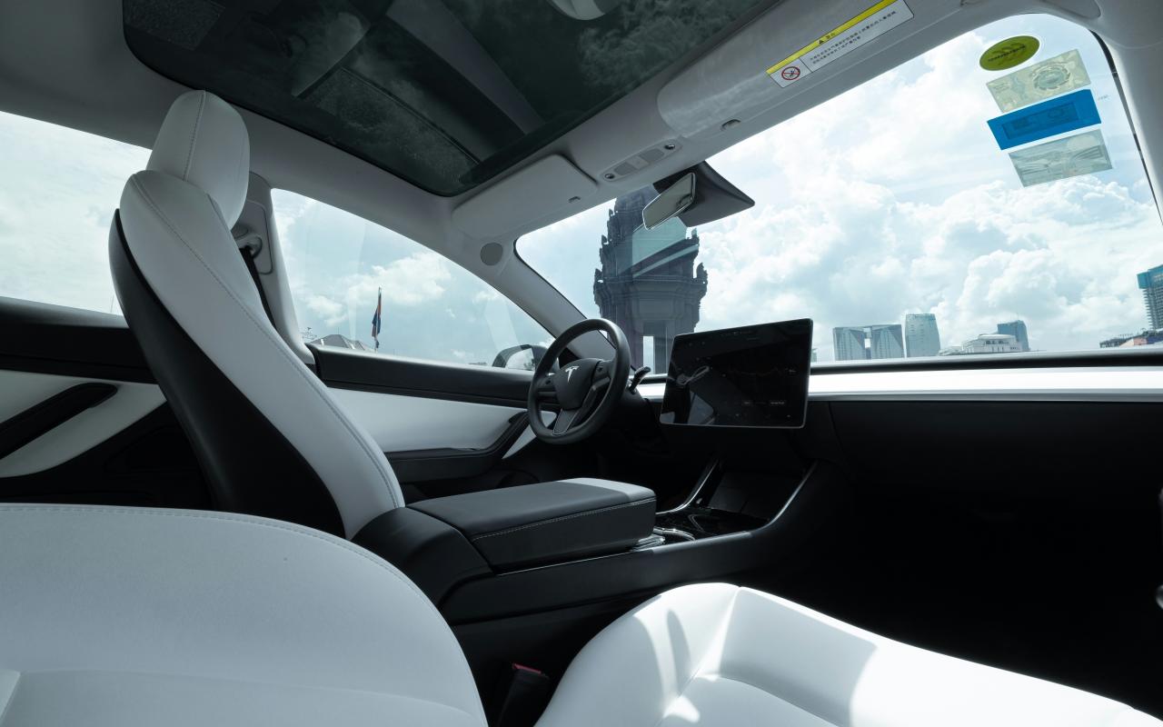
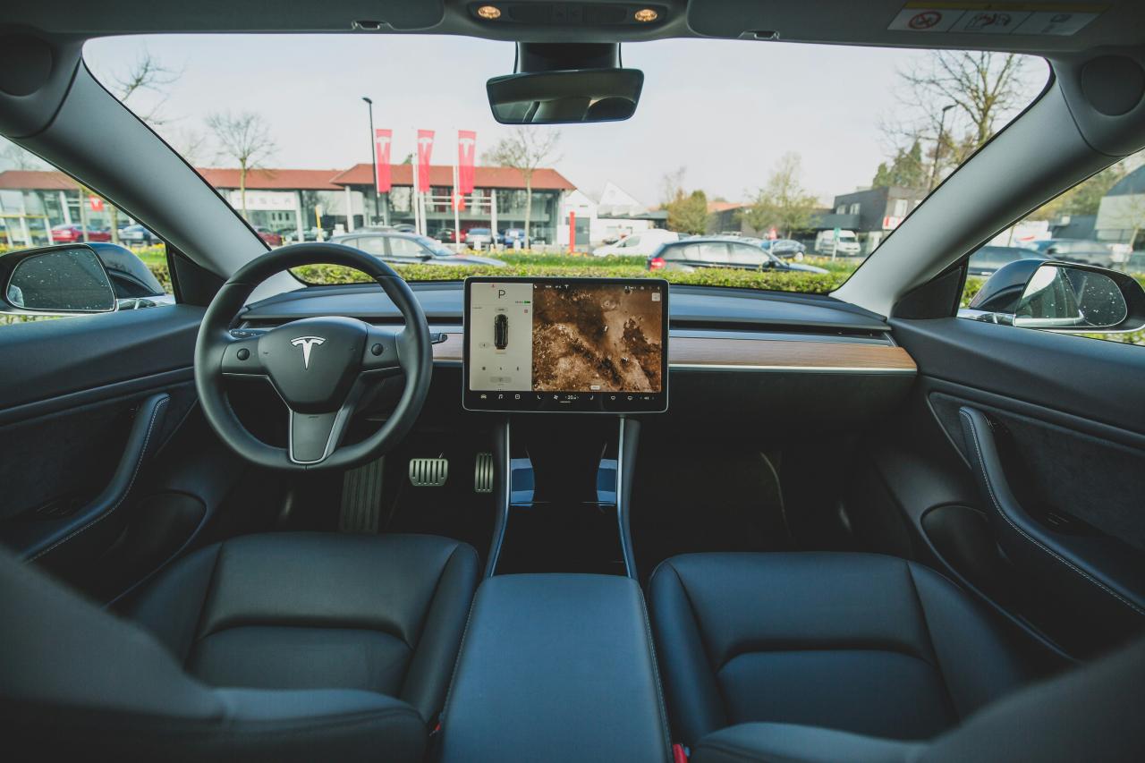
The ambitious global pursuit of fully autonomous driving, known as Level 4 and Level 5 autonomy, hinges entirely on solving one colossal, non-negotiable engineering challenge: equipping vehicles with sensory perception capabilities that are not merely comparable to, but fundamentally superior to, those of an attentive human driver, capable of operating flawlessly under the most diverse and unpredictable real-world conditions, including heavy rain, dense fog, sudden glare, and the complexity of chaotic urban intersections.
While cameras offer high-resolution visual data akin to human sight and radar provides excellent long-range velocity detection, both technologies possess inherent limitations—cameras struggle with accurate depth perception and low-light conditions, and radar lacks the precision necessary to identify and classify complex, irregularly shaped objects like pedestrian limbs or small debris with the necessary spatial fidelity.
Achieving the zero-accident target required for widespread public trust and regulatory approval necessitates a third, highly precise sensing modality that can generate a dense, three-dimensional map of the vehicle’s surroundings regardless of ambient light or contrast, a requirement perfectly met by the revolutionary Light Detection and Ranging (Lidar) Sensor.
Lidar operates by emitting pulses of laser light and measuring the time it takes for those pulses to return, constructing an intricate point cloud that provides unparalleled millimetric spatial accuracy and object classification capabilities, firmly positioning it as the indispensable safety component securing the future of genuinely reliable autonomous vehicles.
Pillar 1: Understanding Lidar’s Core Mechanics
Defining the fundamental principle that gives Lidar its spatial precision.
A. The Time-of-Flight (ToF) Principle
The core physics behind distance measurement.
-
Laser Emission: A Lidar sensor rapidly emits thousands or millions of tiny, non-visible laser pulses per second into the surrounding environment.
-
Pulse Return: These laser pulses strike objects (pedestrians, cars, walls, trees) and reflect back to the sensor’s detector (the receiver).
-
Distance Calculation: The system precisely measures the “Time-of-Flight” (ToF)—the duration elapsed between the pulse’s emission and its return—to calculate the exact distance to the object using the speed of light.
B. The Point Cloud and 3D Mapping
Creating the high-definition spatial map of the world.
-
XYZ Coordinates: Each returned laser pulse yields a data point with highly accurate X, Y, and Z spatial coordinates, creating a dense, measurable geometric representation of the vehicle’s environment.
-
Point Cloud: The collective output of millions of these points forms a “point cloud,” which is the precise, three-dimensional, real-time map that the autonomous vehicle’s software interprets for navigation.
-
Object Classification: By analyzing the shape, size, and movement characteristics within the point cloud, the Lidar system can accurately classify static objects (curbs, signs) and dynamic objects (bicycles, other vehicles, humans) with high confidence.
C. Lidar vs. Camera vs. Radar
The necessity of Sensor Fusion.
-
Cameras: Provide high-resolution visual and color information (essential for reading signs and traffic lights) but are poor at depth measurement and rely on adequate light.
-
Radar: Excels at long-range detection and measuring relative speed (velocity), performing well in adverse weather, but lacks the necessary angular resolution to distinguish small objects.
-
Lidar: Provides millimetric depth and shape precision regardless of light or contrast, filling the crucial gap where cameras and radar are weak, making it the linchpin of safe perception systems.
Pillar 2: Addressing Autonomous Safety Criticality
Why Lidar is essential for achieving Level 4 and Level 5 safety standards.
A. Redundancy and Reliability
Ensuring perception never fails, even when one sensor does.
-
Triple Redundancy: Lidar provides a completely independent measurement modality that validates or invalidates the data received from cameras and radar, creating a system of triple redundancy necessary for safety-critical decisions.
-
Mitigating Camera Failure: Lidar is unaffected by high-contrast situations (e.g., exiting a tunnel into sunlight) or direct glare from headlights, situations that can temporarily blind camera systems, ensuring continuous environmental awareness.
-
Robust Object Identification: The system’s ability to measure shape precisely reduces the possibility of object misclassification—a key safety risk where a system might mistake a plastic bag for a rock, or a pedestrian for a sign.
B. High-Fidelity Depth Perception
The importance of precise distance measurement for high speeds.
-
Braking Distance Accuracy: At high speeds (e.g., highway driving), a small error in distance measurement can translate into a massive difference in braking time. Lidar’s high accuracy ensures perfect braking and maneuvering calculations.
-
Curvature and Road Edges: Lidar excels at identifying subtle changes in road curvature, curbs, and construction zones with high geometric detail, providing the autonomous path-planning software with crucial information for safe trajectory adjustments.
-
Free Space Detection: Lidar can reliably delineate the safe, navigable “free space” around the vehicle, even in dense traffic or complex parking lots, without relying on visual lane markings, enhancing safety in unstructured environments.
C. Adverse Weather Penetration
Maintaining awareness when human and other sensors struggle.
-
Fog and Rain: While fog and heavy rain still attenuate Lidar light, systems using longer infrared wavelengths or higher power pulses can penetrate these conditions better than standard optical cameras, providing sufficient data for safe, reduced-speed operation.
-
Hydroplaning Mitigation: Advanced Lidar systems can detect the characteristics of standing water on the road surface, informing the control system of potential hydroplaning risks and prompting speed reduction.
-
Snow and Debris: Lidar helps the perception stack distinguish between harmless weather events (falling snow) and physical road obstacles (road debris), ensuring the vehicle makes the correct avoidance decision.
Pillar 3: The Evolution of Lidar Technology

From bulky, rotating units to sleek, integrated solid-state systems.
A. Mechanical Lidar (The First Generation)
The pioneering, but commercially challenging, early sensors.
-
Rotating Assembly: First-generation Lidar units (like those used in early test vehicles) utilized a motorized rotating prism or mirror to sweep the laser beam $360$ degrees, making them large, fragile, and mechanically complex.
-
High Cost: The precision engineering required for these moving parts made the units extremely expensive (often costing tens of thousands of dollars), limiting their use strictly to R&D fleets.
-
Limited Lifespan: The presence of constantly moving parts meant these sensors had a finite, relatively short operational lifespan before requiring replacement, impractical for mass-market vehicles.
B. Solid-State Lidar (The Commercialization Goal)
Removing moving parts to achieve scale and affordability.
-
Micro-Electro-Mechanical Systems (MEMS): These sensors use tiny, silicon-based micro-mirrors that are electromagnetically actuated to steer the laser beam rapidly, drastically reducing size and increasing robustness.
-
Optical Phased Arrays (OPA): OPAs steer the laser beam purely electronically without any moving parts by manipulating the phase of the light, offering the ultimate goal of low-cost, fully integrated chips.
-
Flash Lidar: This unique method illuminates the entire scene simultaneously with a single wide pulse (like a camera flash) and measures the return across the whole field of view, maximizing data acquisition speed.
C. Cost Reduction and Integration
Making Lidar a mass-market reality.
-
Price Point: Advances in silicon manufacturing and MEMS technology have already driven the price of Lidar sensors down from tens of thousands of dollars to hundreds of dollars per unit, making them feasible for consumer vehicles.
-
Aesthetic Integration: Newer Lidar models are being designed as small, sleek components that can be seamlessly integrated into the car’s existing bodywork (behind the windshield, in the headlights, or within the bumper), addressing aesthetic concerns.
-
Increased Range and Resolution: Concurrent technological improvements are increasing both the usable range and the density of the point cloud, improving both highway safety and urban object detection.
Pillar 4: Lidar’s Role in Autonomous Vehicle Architecture
How the sensor data is processed and used by the self-driving stack.
A. Localization and Mapping (The HD Map)
Knowing exactly where the vehicle is at all times.
-
High-Definition (HD) Mapping: Lidar data is used to create, refine, and update extremely detailed, high-definition 3D maps of road networks, including precise curb heights, pole locations, and lane geometry, providing crucial context for the vehicle.
-
Real-Time Localization: By comparing the real-time point cloud data captured by the on-board Lidar against the pre-stored HD map, the vehicle can calculate its position within centimeters, which is vital for safe operation in dense areas.
-
Failsafe Redundancy: If GPS signals are lost (e.g., in tunnels or between skyscrapers), Lidar-based localization provides a robust, independent positioning failsafe, a critical safety feature.
B. Perception and Object Tracking
Identifying threats and predicting behavior in the immediate environment.
-
Data Segmentation: The perception software first segments the point cloud data into discrete clusters (e.g., one cluster for the car, one for the pedestrian, one for the bike).
-
Tracking and Prediction: Algorithms then track the movement and trajectory of each identified cluster over time, predicting their future behavior (e.g., “The pedestrian is walking towards the crosswalk and will likely enter the road in $2$ seconds”).
-
Velocity Input: Lidar’s precise spatial data complements radar’s velocity data, allowing the system to track highly complex, non-linear movements with high certainty, which is crucial for urban collision avoidance.
C. Path Planning and Decision Making
Translating perception into safe driving action.
-
Trajectory Generation: Based on the perception output, the path planning module calculates a smooth, safe, and dynamically optimal trajectory for the vehicle to follow, constantly minimizing risk metrics.
-
Behavioral Control: The Lidar data informs the highest-level decision-making processes (e.g., “Is there enough gap to merge?” or “Can I safely pass the slow cyclist?”), ensuring decisions are based on geometrically accurate clearances.
-
Mitigating Blind Spots: Strategic placement of multiple Lidar units around the vehicle (e.g., four corner units and two main forward-facing units) ensures a $360$-degree, overlapping field of view, eliminating all dangerous sensor blind spots.
Pillar 5: Future Trends and Regulatory Landscape
The emerging technologies and the path to global acceptance.
A. The Rise of Software-Defined Lidar
Maximizing efficiency through advanced processing.
-
Adaptive Scanning: Future Lidar units will not scan uniformly; they will use software-defined adaptive scanningto dynamically focus their laser pulses on areas of interest (e.g., prioritizing an object rapidly approaching from the side or an unexpected road hazard).
-
Reduced Data Load: Improved algorithms are helping the perception stack extract maximum information from fewer data points, reducing the massive computational load required to process the point cloud in real time.
-
Machine Learning Integration: AI models are being trained directly on raw Lidar point cloud data to accelerate object recognition and classification, bypassing intermediate processing steps and improving robustness.
B. Regulatory and Public Acceptance
Building trust through demonstrable safety benefits.
-
Safety Standard Compliance: Regulatory bodies worldwide (especially in the US, Europe, and Asia) are developing specific safety standards for autonomous vehicles that likely mandate the use of redundant, high-accuracy sensing technologies like Lidar for Level 3+ systems.
-
Insurance and Liability: The high-fidelity, permanent data logs generated by Lidar systems are expected to play a crucial role in determining fault and liability in the event of an accident involving an autonomous vehicle, providing objective evidence.
-
Public Trust: The deployment of Lidar, which provides clear, demonstrable proof of the vehicle’s superior, all-weather perception capabilities, is key to establishing the necessary public confidence required for widespread autonomous adoption.
C. Emerging Sensor Technologies
Beyond traditional Lidar limitations.
-
FMCW Lidar: Frequency-Modulated Continuous Wave (FMCW) Lidar uses coherent detection to measure both distance and velocity simultaneously (like radar), offering a superior data output with high noise immunity.
-
Low-Wavelength Lidar: Exploration of alternative laser wavelengths that are more resistant to interference from sunlight or better at penetrating dense fog and rain, improving all-weather reliability.
-
Sensor Integration Chips: The ultimate goal is the full integration of the Lidar system (laser, detector, scanner, and processing chip) onto a single, mass-produced silicon chip (Silicon Photonics), driving the cost down to consumer electronics levels.
Conclusion: Securing Autonomy’s Foundation

Lidar sensors have firmly established themselves as the non-negotiable, foundational technology required to transition autonomous driving from controlled research experiments into safe, universally reliable real-world applications.
By employing the precise Time-of-Flight principle, Lidar technology accurately measures millions of laser pulse returns, constructing a dense, detailed, and geometrically perfect three-dimensional map of the vehicle’s immediate surroundings.
This unique ability to generate high-fidelity depth perception, regardless of ambient light conditions or visual contrast, ensures that the autonomous system always receives crucial, uncompromised spatial data, eliminating the critical weaknesses inherent in camera and radar systems alone.
The integration of Lidar provides the essential third layer of redundancy necessary to prevent catastrophic perception failures, ensuring continuous, safe operation even when other sensor modalities are momentarily overwhelmed by glare, fog, or sensor malfunction.
The evolution of Lidar from bulky, fragile mechanical units to sleek, robust, and increasingly affordable solid-state designs is the key technological breakthrough that is now paving the way for mass-market deployment and regulatory approval.
Successful autonomy hinges on the perception stack’s ability to localize the vehicle, track complex objects, and generate safe trajectories in real time, all of which are fundamentally reliant on Lidar’s accurate spatial input.
Ultimately, Lidar is the indispensable safety guardian, providing the autonomous vehicle with truly superhuman vision that is robust enough to manage the unpredictable chaos of real-world driving, thereby securing both the regulatory future and the public trust in self-driving technology.


